Is Your New Jersey Land in a Flood Zone? How to Check, and What It Means When You Sell
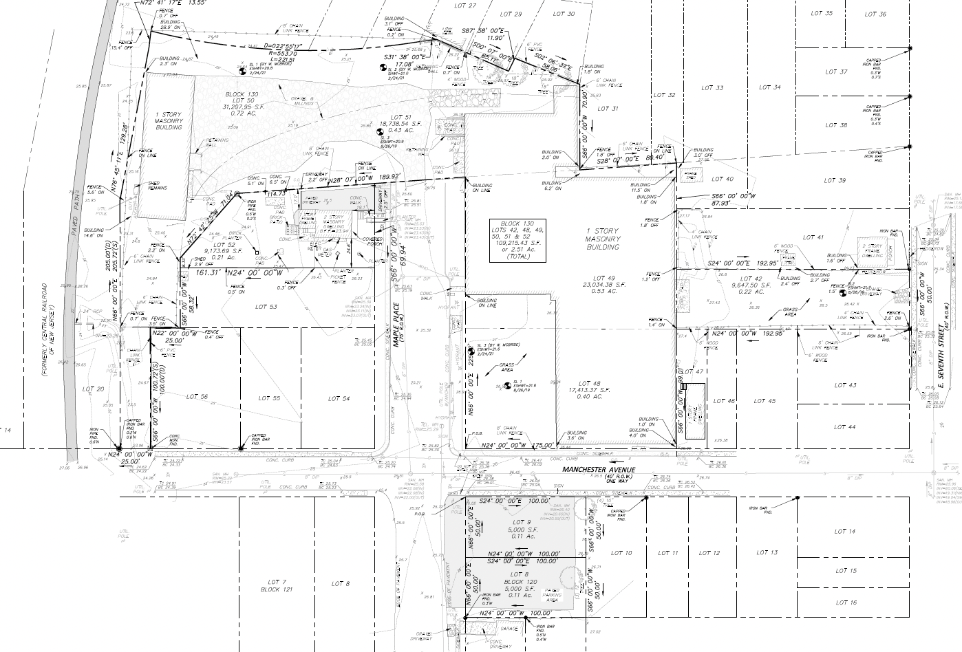
To check whether your New Jersey land is in a flood zone, search the address on FEMA’s Flood Map Service Center and note the zone letter, then look the same parcel up on NJDEP’s Flood Indicator Tool. The FEMA map tells you the federal flood zone. It does not tell you everything, because New Jersey runs its own flood rules that can reach land FEMA leaves out. And since March 20, 2024, every seller of real property in the state has to disclose the FEMA flood zone to the buyer.
Here is how to read both maps, what the letters mean, and how flood rules change what your land is worth to a buyer.
This is general information, not legal or engineering advice. For a final answer on a specific parcel, talk to a licensed engineer or surveyor and your attorney.
How do I check my flood zone by address in New Jersey?
It takes about ten minutes and costs nothing.
- Search FEMA first. Go to the FEMA Flood Map Service Center, type the street address (or the closest address to a vacant lot), and open the map. Write down the zone letter that covers your land. You can also download a one-page "FIRMette" to keep with your sale paperwork.
- Check whether a newer map is coming. FEMA sometimes publishes preliminary maps before they take effect. If the site shows a preliminary map for your area, compare it with the current one, because a buyer’s lender may start using the new zone soon.
- Look up the parcel on NJDEP’s Flood Indicator Tool. The state’s Flood Indicator Tool shows property-level flood risk indicators. NJDEP is clear that it does not calculate actual risk or decide which rules apply, so treat it as a second opinion, not a ruling.
- For a final answer, get a state verification. When the exact limits matter, NJDEP can issue a flood hazard area verification for the site. It usually goes in with an engineer’s application, and it is the document that settles where the line falls.
If your land is near a stream, also ask about the riparian zone. NJDEP protects a strip of land along regulated waters, and its width depends on the water: 50, 150 or 300 feet.
What do the flood zone letters mean?
| FEMA zone | What it means in plain terms |
|---|---|
| A, AE, AO, AH | Special Flood Hazard Area: about a 1% chance of flooding in any year. Lenders usually require flood insurance on buildings here. |
| V, VE | Coastal high hazard area, with wave action on top of flooding. Common along the Shore. |
| X (shaded) | Moderate flood risk, between the 1% and 0.2% annual chance. |
| X (unshaded) | Minimal flood risk on FEMA’s map. |
A zone on the map is about the ground, not your intentions for it. Two halves of the same parcel can sit in different zones, and that split often matters more than the zone name on the first page.
Is FEMA’s flood zone the same as New Jersey’s flood hazard area?
No, and this is the part most landowners miss.
New Jersey regulates building in a flood hazard area under its own Flood Hazard Area Control Act rules. NJDEP defines it as the land below the "flood hazard area design flood elevation," which is the 100-year flood plus an additional amount of water in non-tidal (river and stream) areas, to allow for more runoff in the future. So the state’s line can sit higher on the land than FEMA’s.
Two rules from that program matter most to a seller:
- The floodway. This is the inner part of the flood hazard area that carries the fast, deep water. NJDEP prohibits buildings in the floodway.
- The flood fringe. This is the rest of the flood hazard area. Building there is possible in many cases, with permits and design standards.
In practice, a parcel can be outside FEMA’s zone and still need a state flood permit, or partly inside FEMA’s zone and still have plenty of buildable ground. The maps start the conversation. A site-specific check finishes it.
Do I have to disclose a flood zone when I sell land in New Jersey?
Yes. New Jersey’s flood risk notification law was enacted on July 3, 2023. Since March 20, 2024, every seller of real property must disclose flood risk information on the property condition disclosure statement before the buyer is bound by the contract, according to NJDEP’s flood disclosure page. That includes:
- whether the property is in FEMA’s Special Flood Hazard Area or Moderate Flood Hazard Area, and
- what you actually know about flood risk on the property.
The law says "every seller of real property," so do not assume vacant land is exempt. Ask your attorney how to complete the form for your parcel.
Does a flood zone lower the value of land?
Usually, yes, but not in the way people fear. A flood zone rarely makes land worthless. It changes how much of the land can be built on and what it costs to build there.
When we price a parcel with flood limits, we look at three things:
- How much ground sits outside the floodway and riparian zone. That is the usable area. A ten-acre tract with eight dry acres is a very different property from one with two.
- What building in the flood fringe would take. Raising buildings above the design flood elevation, permits and engineering all cost time and money, and any buyer prices that in.
- Whether the map is right. Maps are drawn at a large scale. A survey sometimes shows that a building site sits higher than the map suggests.
That is also why a flood zone is a poor reason to accept the first low offer. A buyer who does not do this work has to guess, and buyers who guess usually guess low.
Want to know what your land is worth?
Send the block and lot. An Acquisitions Manager calls for 15 minutes, then you get a written, formula-based offer within 48-72 hours. No fees or commissions.
Can I get my land taken out of a flood zone?
Sometimes. If you believe FEMA’s map is wrong for your land, you can ask FEMA for a Letter of Map Change, usually with elevation data from a licensed surveyor or engineer. The most common version, a Letter of Map Amendment, applies when the land sits on naturally high ground that has not been raised with fill. It takes time and it does not change the state’s own flood hazard area rules, but on the right parcel it can clear up a buyer’s main worry.
How BayfordBridge looks at land with flood limits
We are a direct buyer and residential developer based in Red Bank, with 30+ years of family land-development experience. Flood and wetland limits are part of the work we do every week, not a reason to walk away.
When you send us a parcel, we read the FEMA zone, the state flood indicators and any stream buffers first, then price what can actually be built. We buy land where a workable building area remains. We do not buy parcels dominated by wetlands, preserved farmland or Green Acres land. If your land has wetlands as well as flood limits, our guide to selling land with wetlands, Pinelands, Highlands or CAFRA limits covers that side, and how much an acre of land is worth in NJ explains how buyers price land in general.
Want a number? Tell us about your parcel. An Acquisitions Manager calls you for 15 minutes, and you get a written, formula-based offer within 48 to 72 hours. No fees, no commission. Or call (732) 852-9571.
Frequently asked questions
How do I find out if my land is in a flood zone in NJ?
Search the address on FEMA’s Flood Map Service Center and note the zone letter, then check the parcel on NJDEP’s Flood Indicator Tool. For a final, site-specific answer, an engineer can request a flood hazard area verification from NJDEP.
Is the FEMA flood map the same as New Jersey's flood rules?
No. New Jersey regulates a flood hazard area based on the 100-year flood plus an extra margin in non-tidal areas, so the state’s regulated area can be larger than FEMA’s zone.
Do I have to disclose a flood zone when selling land in New Jersey?
Yes. Since March 20, 2024, every seller of real property must disclose whether the property is in FEMA’s Special or Moderate Flood Hazard Area, and what they know about its flood risk, on the property condition disclosure statement.
Can you build on land in a flood zone in NJ?
Often, with permits. NJDEP prohibits buildings in the floodway, but building in the flood fringe can be possible if it meets the state’s design standards.
Does a flood zone make my land worthless?
Rarely. It reduces the buildable area and adds cost, and buyers price that in. A parcel with a workable building area outside the floodway can still sell well.
Sources checked
Checked on October 20, 2026.
- NJDEP, Flood Disclosure Law: enacted July 3, 2023; since March 20, 2024 every seller of real property must disclose FEMA flood zone status and known flood risk on the property condition disclosure statement.
- NJDEP, Flood Hazard Areas: definition of the flood hazard area and design flood elevation; floodway and flood fringe; buildings prohibited in the floodway; verifications; riparian zone widths.
- NJDEP, New Jersey’s Flood Indicator Tool: property-specific flood risk indicators, not a calculation of actual risk or regulatory applicability.
- FEMA, Flood Map Service Center: official flood maps searchable by address.
- FEMA, Change your flood zone: Letters of Map Change.
About the authors

Chris Muldoon, MBA
COO & Director of Acquisitions
Chris Muldoon is COO and Director of Acquisitions at BayfordBridge, a New Jersey land acquisition and entitlement company based in Red Bank. He leads the team that evaluates and makes offers on land across the state.

Mitchel Rubinstein, MBA
CEO & Founder
Mitchel Rubinstein is CEO and Founder of BayfordBridge, with roots in the family’s 30+ year residential development business.
No commission · No obligation
Your land. A real number. This week.
Send the address or Block/Lot. A named person at BayfordBridge reviews it and sends a written, formula-based offer within 48–72 hours, even on wetlands, Pinelands, Highlands or back-tax parcels.
Prefer to write first?