How to Use NJ GeoWeb to Check Your Land: A Step-by-Step Guide
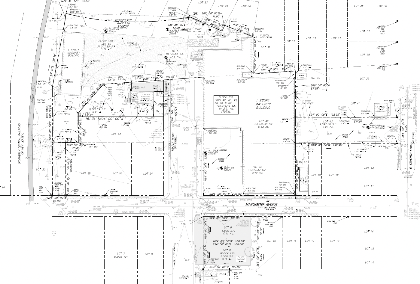
NJ-GeoWeb is the New Jersey Department of Environmental Protection’s free online map. You can find any parcel in the state by address or by block and lot, then turn on state map layers for wetlands, flood hazards, the Highlands, the Pinelands, the coastal zone and known contaminated sites. It takes about five minutes and needs no account.
Once you have checked the map, get a written offer for your New Jersey land from a buyer who reads the same layers.
Treat what you see as a screening, not an answer. The state’s maps are approximations. Official answers come from NJDEP itself, for example a wetlands Letter of Interpretation. Here is how to use the tool, which layers matter for a landowner, and what the map cannot tell you.
This is general information, not legal or engineering advice.
What is NJ-GeoWeb?
NJ-GeoWeb is NJDEP’s public map viewer for its environmental data. It runs in a web browser at dep.nj.gov/gis/nj-geoweb, where the Launch NJ-GeoWeb button opens the map. It is free and needs no login. NJDEP publishes a Quick Start Guide and a full user guide, and its GIS team answers questions at gisnet@dep.nj.gov.
People search for it as “NJDEP GeoWeb” because it is the state’s main map for land questions: is there wetland on this lot, is it in a flood area, is it in the Highlands or the Pinelands.
How do I find my property on NJ-GeoWeb?
- Open the map. Go to the NJ-GeoWeb page and click Launch NJ-GeoWeb.
- Search by address. Type the street address or town into the Find address or place box at the upper left of the map.
- Or search by block and lot. Open the Parcel Search tool and choose the county and municipality, then enter the block and lot. Block and lot is the most reliable way to land on the right parcel, especially for vacant land with no street address. You will find it on your tax bill or deed, or in the county tax records (see how to look up NJ property tax records and tax maps).
- Click the parcel. Clicking a feature on the map opens a pop-up window with information about it.
Which layers should a landowner turn on?
Open the Layer List. It works like a table of contents: you switch each layer on or off. The list is long, so look for these words. NJDEP also runs a layer search page if you cannot find one.
| Look for | What it shows | What it does not settle |
|---|---|---|
| Wetlands | Where the state’s maps show freshwater or coastal wetlands | The real wetland line on your lot. NJDEP decides that through a Letter of Interpretation. |
| Flood | Flood hazard and flood risk areas | Your official FEMA flood zone, which comes from FEMA’s flood maps |
| Highlands | The Highlands Region and the Preservation Area and Planning Area line | Whether a specific project is exempt or allowed |
| Pinelands | The Pinelands Area boundary and management areas | What the Pinelands Commission will approve |
| CAFRA or coastal | The coastal zone where CAFRA permits can apply | Whether your project needs a permit |
| Contaminated sites | Known contaminated sites near the parcel | Whether your own land is clean |
| Open space or preserved land | Parks and preserved land | Deed restrictions on private land you own |
How do I measure acreage or print a map?
- Measurement measures the area of a shape you draw, the length of a line, or the coordinates of a point. It is handy for a rough idea of how much of a lot sits outside a wetland or flood area.
- Print saves the current map view as a PDF, JPG, PNG or other image format. Print one with the parcel and the key layers on before you talk to a buyer, an attorney or an engineer.
- Select and the Parcel Search results can export data to a spreadsheet file if you need the parcel details.
Measured areas are rough. Only a surveyor’s plan gives exact acreage and lines.
What can’t NJ-GeoWeb tell you?
- Exact lines. Parcel outlines come from tax maps, not surveys. Wetland areas are mapped from imagery and NJDEP itself notes that wetlands have changed since the maps were made. Our guide to wetlands maps and Letters of Interpretation explains what decides the real line.
- Your flood zone for disclosure. Sellers must disclose the FEMA flood zone, which comes from FEMA’s maps. See how to check your NJ flood zone by address.
- Zoning. Local zoning, which usually matters most for what land is worth, is set by your town. Get the zoning map and ordinance from the municipality.
- Value. A map shows limits. It does not price them. Two lots with the same layers can be worth very different amounts depending on zoning, sewer and access. Our guide to what an acre of land is worth in NJ covers what moves value.
Checked the map and want a real number?
Send the block and lot. An Acquisitions Manager calls for 15 minutes, then you get a written offer within 48 to 72 hours. No fees or commissions.
What other NJDEP map tools are useful?
- Flood Indicator Tool: a screening tool for signs of flood risk on or near a property.
- Flood Risk Notification Tool: linked from NJ-GeoWeb, it produces flood risk notice reports.
- Land Resource Protection viewer: also linked from NJ-GeoWeb, it focuses on the layers used for land use permits.
How a land buyer reads the same map
Before we make an offer, we run the same checks: wetlands, flood, Highlands, Pinelands, coastal zone and contamination, then local zoning and sewer. What matters is not whether a layer touches the lot, but how much buildable area is left after every limit, and how long approvals would take. A wetland in one corner of a five-acre lot may barely change its value. The same wetland across the middle of a one-acre lot can change everything.
Where BayfordBridge fits
We are a direct buyer and residential developer based in Red Bank, buying land in all 21 New Jersey counties, including land with wetlands, flood areas, Highlands or Pinelands limits. We read the maps with you and price what can actually be built.
Looked up your land? Send us the block and lot. An Acquisitions Manager calls for 15 minutes, and you get a written offer within 48 to 72 hours. Or call (732) 852-9571.
Frequently asked questions
Is NJ-GeoWeb free to use?
Yes. NJ-GeoWeb is NJDEP’s public map and needs no account. Open it from dep.nj.gov/gis/nj-geoweb.
Can I search NJ-GeoWeb by block and lot?
Yes. The Parcel Search tool searches by county, municipality, block and lot. You can also type an address into the Find address or place box.
Is the wetlands layer on NJ-GeoWeb official?
No. The state’s wetlands maps are an approximation. The official wetland line on a property comes from an NJDEP Letter of Interpretation.
Does NJ-GeoWeb show zoning?
Municipal zoning is set by each town, so get the zoning map and ordinance from your municipality. NJ-GeoWeb focuses on state environmental layers.
Why can't I find my parcel on NJ-GeoWeb?
Try the address search, check the block and lot on your latest tax bill, and make sure you picked the right municipality. Lots created by a recent subdivision may not appear yet.
Sources checked
Checked on November 13, 2026.
- NJDEP, NJ-GeoWeb: launch page, links to the user guide, FAQ and layer search.
- NJDEP, Quick Start Guide for NJ-GeoWeb: Find address or place box, Parcel Search by county, municipality, block and lot, Layer List, pop-ups, Measurement, Print formats, Select and export.
- NJDEP, Wetlands: wetlands have changed since the maps were produced; Letters of Interpretation.
- NJDEP, New Jersey’s Flood Indicator Tool.
Related guides
About the authors

Chris Muldoon, MBA
COO & Director of Acquisitions
Chris Muldoon is COO and Director of Acquisitions at BayfordBridge, a New Jersey land acquisition and entitlement company based in Red Bank. He leads the team that evaluates and makes offers on land across the state.

Mitchel Rubinstein, MBA
CEO & Founder
Mitchel Rubinstein is CEO and Founder of BayfordBridge, with roots in the family’s 30+ year residential development business.
No commission · No obligation
Your land. A real number. This week.
Send the address or Block/Lot. A named person at BayfordBridge reviews it and sends a written, formula-based offer within 48 to 72 hours, even on wetlands, Pinelands, Highlands or back-tax parcels.
Prefer to write first?